|
So, when I was eleven and my family moved to Pisa, I was the only kid I knew who walked around — from school, to fencing practice, to my bus stop — studying a map and a compass. Next came the topo maps I used for hiking. In my twenties, as I began to sail around the Boston Harbor islands and off the coast of Maine, I learned to use nautical charts, sextants, radio direction-finders, sonar, radar, Loran C, and, finally, GPS
(Global Positioning System) receivers. I read my first technical article on GPS in 1985, when I was a graduate student in international security and the United States was building the system. I studied its technical specifications and dreamt about its many possible future applications.
I first became strongly interested in politics as I was growing up, in Italy. In college, in the United States, I majored in political science and was active in various campus organizations. After college, I was a full-time political activist. When I was 22, I started a Ph.D. in political science at MIT, but soon got bogged down and bailed out with a masters degree. Later, my passion for politics took various forms, including years on the boards of civic organizations and running a public policy magazine.
In grad school, one of my favorite courses was systems analysis (also known as operations research), which encompasses the application of analytic methods to the solution of varied and complex strategic, operational, and managerial issues. I also studied multivariate regression analysis and other statistical methods. In later years, I had the opportunity to apply those techniques as a defense analyst at the Institute for Defense & Disarmament Studies, in Cambridge, and, to a lesser degree, as a research analyst for the State of Oregon and a county agency. I also became an expert user of databases: whether extracting data from legacy mainframe systems, querying SQL servers, or using Microsoft Access or Excel on a PC, I became a wizard at extracting, importing, exporting, translating, concatenating, validating, and analyzing data.
I finally began my magazine career 15 years ago, shortly after re-locating from Boston to Portland, Oregon, as the co-founder of the public policy magazine Oregon's Future, which I edited for four years on top of my day job. I edited and commissioned articles, chaired the editorial board, coordinated dozens of volunteer writers, editors, and graphic artists, and wrote editorials and a few articles.
I solicited informed opinions from people with a wide variety of backgrounds and perspectives. I summarized my editorial philosophy into the following mission statement: "to publish opinions — argued logically, supported by facts, defended with passion, and tempered by tolerance." In the process, I learned, the hard way, about magazine writing, editing, production, and circulation.
In the fall of 2000, my longstanding passion for navigation, my interest in science and technology policy, and my self-taught knowledge of magazine writing and editing, came together, as I became the managing editor of GPS World (click
here and
here for links to two of my articles for that magazine) and of Galileos World. Two and a half years later, I launched my own publication, GPS User Magazine, as editor and publisher. Two years after that, I took a job as editor of Earth Observation Magazine (a monthly, which I helped transition from print to on-line publication) and GIS Monitor, an on-line weekly.
One of my best moments as a magazine editor came in my first week as editor of EOM. I was taking over a magazine that had only a handful of articles in the pipeline. I needed good content, fast. I remembered reading that NASA, in addition to its well-known space exploration programs, also had twelve space- based Earth observation programs — focused on such subjects as agriculture, health, and security. So, I called NASA and negotiated a deal for twelve
|


|
|
articles: each month, the top scientists in two of the programs would describe their mission, methods, and achievements. In the first week, I had secured the core content for the next six issues of the magazine! (To complete each issue, I wrote an article, commissioned three, and wrote a news section and an editorial.) Unfortunately, those were the only six issues of EOM I edited, because then the publisher shut it down for business reasons.
Meanwhile, as the editor of GISM, I was the captain of my own ship
and did all the rowing, too! I researched and wrote 139 issues, most of which consisted of two articles, plus a summary of two dozen press releases. I profiled companies, projects, products, and people, reported on conferences, interviewed geospatial managers, engineers, and technicians, and reviewed books. It was a good run, for nearly three years, with about 25,000 subscribers, until the publisher, unable to make the publication profitable, shut it down at the end of 2007. Two weeks later, I launched my new company, Pale Blue Dot Research, Writing, and Editing, LLC.
Braid these disparate strands together and what do you get? A techie sailor, a data-driven policy analyst, an eclectic aficionado of all things geospatial, a researcher driven by deep interests and intellectual curiosity, a writer adept at reaching diverse audiences, and a meticulous editor. At your service.
|

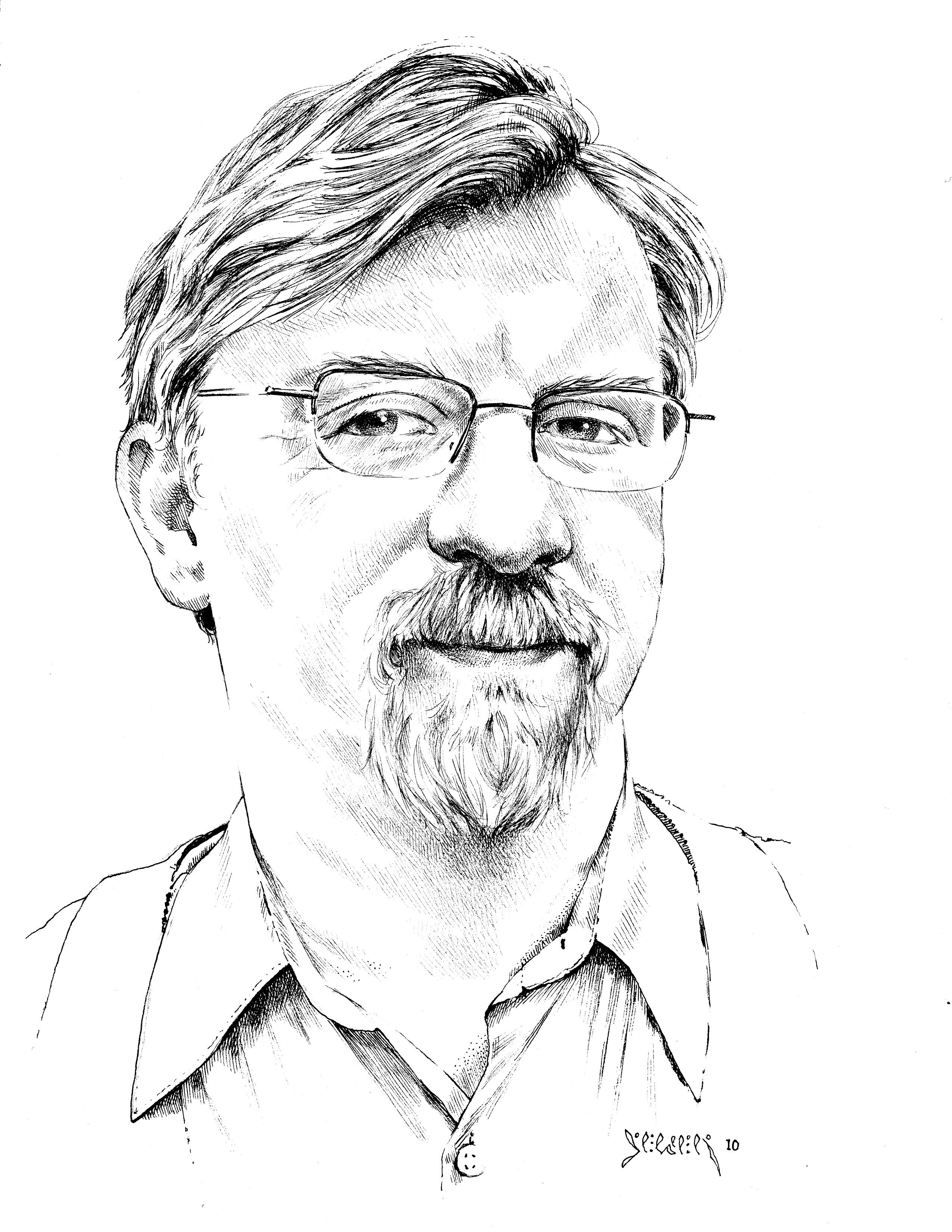 Portrait by Ken Sellen
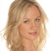 Many of you have already heard her cheerful and polite voice on the phone — or will hear it soon — as she calls to follow up on leads and information requests. Jory Hillary Bryan, though new to geospatial technologies, arrives prepared with her own brand of marketing program management, event management, business consulting, and public relations and more than ten years of experience in marketing across a wide range of industries and regions.
Jory started Glow Productions & Management, a Chicago-based marketing agency, in 1997 and ran it until the end of 2001. In 1999 she helped an artists collective start a non-profit organization, the Conjugate Projekt, which worked with the City of Chicago to create programs and events for inner city youth. From January 1996 to April 2006, she was the marketing director and chief communications officer at Southport Records (Northport Records / Asian Improve Records / Sparrow Sound Design). Throughout 2007, she was the Program Manager for BFG Communications in the Memphis market and oversaw three extensive marketing programs before relocating to the Northwest.
Previously, Jory has managed marketing programs in New York, Miami, Tampa, Portland (OR), Los Angeles, and other cities. She is also trained as a sound engineer, specializing in both live and studio engineering, and has monitored sound at such events as the 1997 Free Tibet concert in New York and the 2001 Chicago Jazz Festival in Grant Park.
Many of you have already heard her cheerful and polite voice on the phone — or will hear it soon — as she calls to follow up on leads and information requests. Jory Hillary Bryan, though new to geospatial technologies, arrives prepared with her own brand of marketing program management, event management, business consulting, and public relations and more than ten years of experience in marketing across a wide range of industries and regions.
Jory started Glow Productions & Management, a Chicago-based marketing agency, in 1997 and ran it until the end of 2001. In 1999 she helped an artists collective start a non-profit organization, the Conjugate Projekt, which worked with the City of Chicago to create programs and events for inner city youth. From January 1996 to April 2006, she was the marketing director and chief communications officer at Southport Records (Northport Records / Asian Improve Records / Sparrow Sound Design). Throughout 2007, she was the Program Manager for BFG Communications in the Memphis market and oversaw three extensive marketing programs before relocating to the Northwest.
Previously, Jory has managed marketing programs in New York, Miami, Tampa, Portland (OR), Los Angeles, and other cities. She is also trained as a sound engineer, specializing in both live and studio engineering, and has monitored sound at such events as the 1997 Free Tibet concert in New York and the 2001 Chicago Jazz Festival in Grant Park.